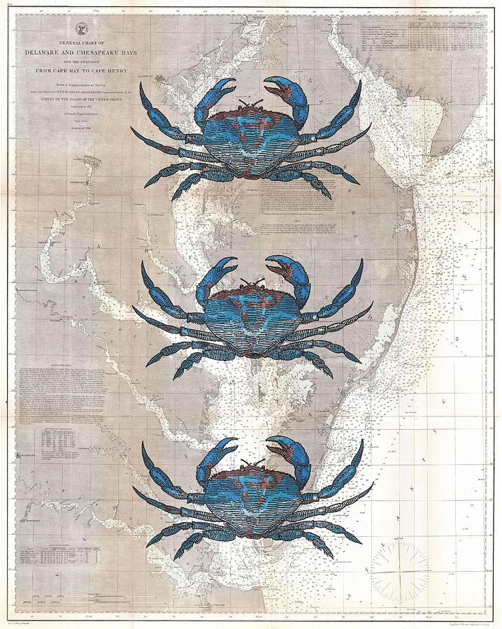
Blue Crabs On 1866 Chesapeake Coastal Map is a photograph by Suzanne Powers which was uploaded on May 11th, 2014.
Blue Crabs On 1866 Chesapeake Coastal Map
Three blue crabs on an old 1866 US Coast Survey Map of the Chesapeake Bay and the Delaware Bay.
Title
Blue Crabs On 1866 Chesapeake Coastal Map
Artist
Suzanne Powers
Medium
Photograph - Photography
Description
Three blue crabs on an old 1866 US Coast Survey Map of the Chesapeake Bay and the Delaware Bay.
Uploaded
May 11th, 2014
More from Suzanne Powers
Comments
There are no comments for Blue Crabs On 1866 Chesapeake Coastal Map. Click here to post the first comment.


