Looking for design inspiration?   Browse our curated collections!

Previous Image

|

Next Image
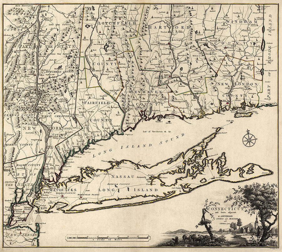
Connecticut Map Drawing - Antique Map of Connecticut by Covens and Mortier - 1780 by Blue Monocle

Antique Map of Connecticut by Covens and Mortier - 1780 is a drawing by Blue Monocle which was uploaded on January 8th, 2014.

More from Blue Monocle

View Profile

Antique Map of New England by Carington Bowles - circa 1780 by Blue Monocle
Antique Map of Connecticut by Fielding Lucas - circa 1817 by Blue Monocle
Antique Map of the New York City Region by Rand McNally and Company - 1908 by Blue Monocle
Antique Map of Massachusetts Connecticut and Rhode Island by Samuel Augustus Mitchell - 1831 by Blue Monocle
Antique Map of Stamford Connecticut by L. R. Burleigh - 1883 by Blue Monocle
Antique Map of New Haven by William Lyon - 1806 by Blue Monocle
Antique Map of New England by Johann Michael Probst - 1777 by Blue Monocle
Antique Map of New England by Johann Baptist Homann - circa 1760 by Blue Monocle
Antique Map of New York City by John Randel - 1821 by Blue Monocle
Vintage Map of Connecticut, 1840s by Blue Monocle
Vintage Connecticut Relief Map by Blue Monocle

Comments (1)

Irina Sztukowski

Irina Sztukowski

Congratulations on you super successful sale!

Recently Viewed

Antique Map of Connecticut by Covens and Mortier - 1780 by Blue Monocle
Previous Image Next Image