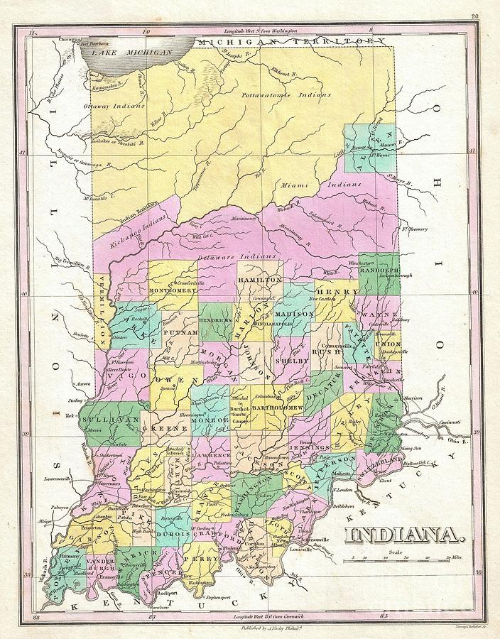
1827 Finley Map of Indiana is a photograph by Paul Fearn which was uploaded on October 18th, 2013.
1827 Finley Map of Indiana
A beautiful example of Finley's important 1827 map of Indiana. Depicts the state with moderate detail in Finley's classic minimalist style. Shows... more

by Paul Fearn
Title
1827 Finley Map of Indiana
Artist
Paul Fearn
Medium
Photograph
Description
A beautiful example of Finley's important 1827 map of Indiana. Depicts the state with moderate detail in Finley's classic minimalist style. Shows river ways, roads, canals, and some topographical features. Offers color coding at the county level. Title and scale in lower right quadrant. Finley's map of Indiana is particularly interesting and important due to its portrayal of the rapidly changing American Indian situation in the northern part of the state. In 1827 northern Indiana was a confined territory assigned to the Delaware, Kickapoo, Miami, Ottaway, and Pottawatomie Indian nations. The Delaware tribe, which originally occupied the Delaware River valley near Pennsylvania and New Jersey, is here shown in a middling stage in it forced migration westward. Most of the other tribes noted, including the Miami and Pottawatomie, were inhabitants of this region when the first Europeans arrived. Within a few short years of this maps construction, most of these tribes were forcibly removed to the Indian Territory or Oklahoma. This map was updated yearly from 1824 to the mid 1830s. A full series of these maps is a powerful illustration of both the American Indian relocations and the Westward Expansion. Engraved by Young and Delleker for the 1827 edition of Anthony Finley's General Atlas .
Uploaded
October 18th, 2013
More from Paul Fearn
Comments
There are no comments for 1827 Finley Map of Indiana. Click here to post the first comment.


